Se afișează postările cu eticheta Port. Afișați toate postările
marți, 17 martie 2015
SULINA FREE PORT
Sulina is a town and free port in Tulcea County, Romania, at the mouth of the Sulina branch of the Danube. It is the easternmost point of Romania.
During the mid-Byzantine period Sulina was a small cove and in the 14th century a Genoese port inhabited by a handful of sailors, pirates and fishermen. In 18th century the Ottomans built a lighthouse there in order to accommodate communication between Constantinople (Istanbul) and the Danubian Principalities, the main breadbaskets for the Ottoman capital.
Thanks to the signing of the Treaty of Adrianoupolis (Edirne), September 2, 1829, that unfettered the Danube grain trade, Sulina, by then under Russian control, became important. Great sailing boats could not sail fully loaded to Brăila and Galaţi, which were the main export centres of Wallachia and Moldavia, because of the shallow waters of the river; therefore, they had to tranship at least part of their cargoes to smaller riverboats (shleps). The owners and crew of these sleps were almost always Greek.
Even greater development, however, would occur after the signing of the Treaty of Paris (1856), which ended the Crimean War. One of the treaty’s terms determined the establishment of a certain committee, the Danube European Committee(C.E.D.), which would conduct infrastructure works on the mouth of the river in order to make it floatable for larger ships as well.
The technical works allowed entrance to the Danube for a great number of “foreign”, i.e. non-Greek ships, leading to a higher level of competition. River faring, however, largely remained in Greek hands. Moreover, the declaration by the Ottoman administration of Sulina as a free port in 1870 also boosted its development.
The Russo-Ottoman war of 1877-1878 led to many changes as well. The city was initially put under Russian control and after the signing of the Berlin Treaty was annexed to Romania, as was the whole Dobrudja area. It was conquered by Bulgarians in 1916, while during World War II air raids caused great damage.
Etichete:
danube sulina,
Port,
sulina,
sulina danube delta,
sulina free port,
sulina romania,
travel,
travel guid,
travel guid romania,
travel romania
luni, 16 martie 2015
PORT OF CONSTANTA
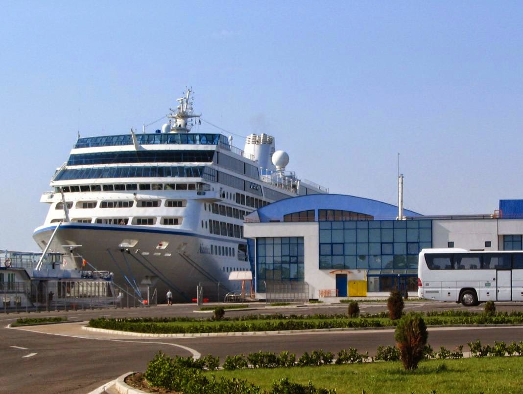
The Port of Constanța is located in Constanța, Romania, on the western coast of the Black Sea, 179 nautical miles (332 km) from the Bosphorus Strait and 85 nmi (157 km) from the Sulina Branch, through which the Danube river flows into the sea.
The two breakwaters located northwards and southwards shelter the port, creating the safest conditions for port activities. The present length of the north breakwater is 8.344 km (27,380 ft) and the south breakwater is 5.560 km (18,240 ft).The Port of Constanța is the largest on the Black Sea and the 18th largest in Europe.
The favourable geographical position and the importance of the Port of Constanța is emphasized by the connection with two Pan-European transport corridors: Corridor VII – Danube (inland waterway) and Corridor IV (railway).
The two satellite ports, Midia and Mangalia, located not far from Constanța Port, are part of the Romanian maritime port system under the coordination of the Maritime Ports Administration SA.
The history of the port is closely related to the history of Constanța. Although Constanța was founded in the 2nd century AD the old Greek colony of Tomis was founded in the 6th century BC
The port-city was organised as an emporium to ease the trade between the Greeks and the local peoples. The Greek influence is maintained until the 1st century BC, when the territory between the Danube and the Black Sea was occupied by the Romans.
The first years of Roman governorate were recorded by Ovid, who was exiled to Tomis for unknown reasons. In the next hundred years the port had a substantial development and the city changes its name to Constanța in honour of the Roman Emperor Constantine I.
Abonați-vă la:
Postări (Atom)